Software
Flumen
Flush
Fluviz
Simp
Support
Manuals
Publications
TriPaD allows to efficiently determine the extensions of flooded areas. Usually more sophisticated models are applied for flood modelling (e.g. 1D or 2D shallow water models). TriPaD can help to overcome many of the problems you have with these other models. It is simple to use and it allows to directly apply existing digital elevation data for flood modelling. The model can also be used to simulate free surface flows on moderate and steep slopes.
TriPaD is based on a simplified equation set. Hence, more accurate tools (e.g. FLUMEN) should be used for flow conditions that are extremely variable. For a comparison of different models see Beffa (1998). See also the online manual for more details on how to apply TriPad to existing DTM data.
since version 4:
- reads results (hazard.dat) from FLUMEN including the mesh geometry
Improvements to shallow water models
Improvements to CAD based
methods
![]() considers drainage from flood plains
considers drainage from flood plains
![]() keeps control of the volume of the discharge
keeps control of the volume of the discharge
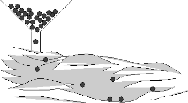
![]() considers interaction between flow in channels and
flood plains
considers interaction between flow in channels and
flood plains
![]() allows estimation of flow depths and flow
velocities
allows estimation of flow depths and flow
velocities
(c) 2021 fluvial.ch